


Introduction
As drone technology rapidly advances, its applications across various fields continue to expand. Radar technology, a key component of drones, provides them with powerful environmental perception capabilities, ensuring the safety of flight and the efficiency of missions. This article will explore the main implementations of radar technology in the drone industry, including obstacle avoidance, altitude holding, and mapping.
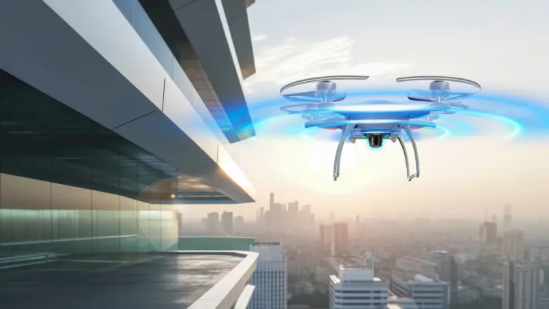
Drone Altitude Holding
The altitude holding function for drones ensures that they maintain a stable flight altitude during mission execution, which is crucial for applications that require precise altitude control, such as agricultural spraying and power line inspection.
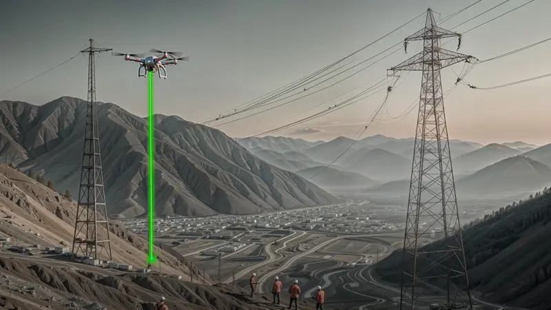
- Principle of Radar Technology: Radar measures the relative altitude of the drone from the ground to achieve accurate altitude control.
- Implementation of Altitude Holding System: Radar data, combined with the flight control system, adjusts the drone's flight attitude and power output in real-time to ensure stable flight at a preset altitude.
- Application Scenarios: In agriculture, drone altitude holding technology ensures the uniformity of pesticide spraying; in power line inspection, drones can safely approach high-voltage lines for inspection
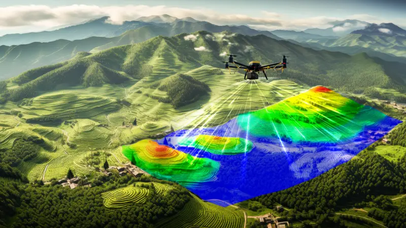
Drone Mapping
Drone mapping technology uses radar systems to obtain high-precision three-dimensional data of the ground or target areas, widely used in urban planning, topographic mapping, and environmental monitoring.
- Principle of Radar Technology: Radar generates three-dimensional point cloud data of the terrain by emitting and receiving radio waves, combined with flight path and attitude information.
- Implementation of Mapping System: Radar data is processed to transform into high-precision topographic maps or three-dimensional models, providing important data support for urban planning and environmental analysis.
- Application Scenarios: Drone mapping technology plays a significant role in land resource management, infrastructure construction, and disaster assessment.
Conclusion
The application of radar technology in the drone industry has not only enhanced the autonomy and intelligence level of drones but also provided efficient and safe solutions for various industries. With continuous technological advancements, radar technology will further integrate with artificial intelligence, big data, and other technologies, propelling drone applications to develop in broader fields.